Land Survey Drafting Services
Drafting Civil Surveys
Crafted with Efficiency. Accuracy. Pride.
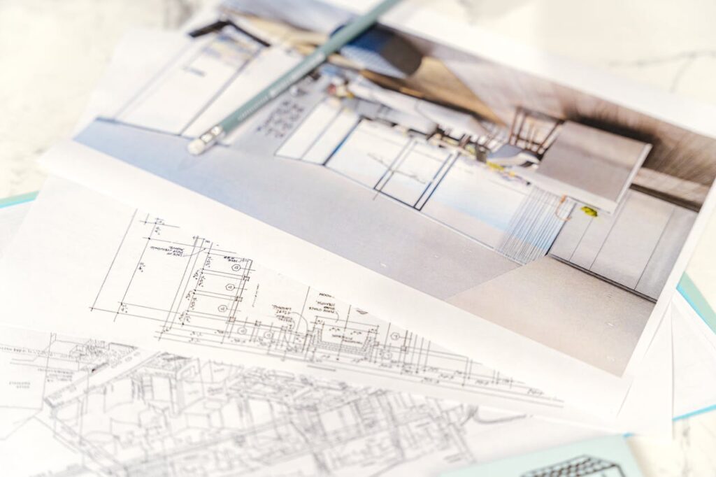
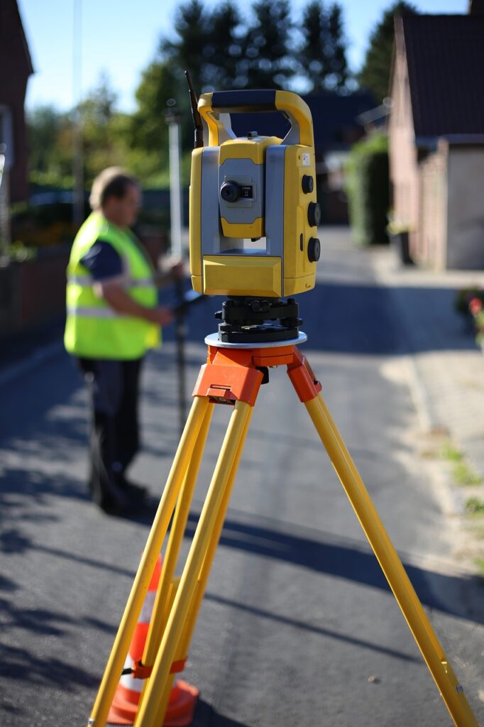
Drafting Civil Surveys was founded with the intent of expediting the process of land surveying through the seamless manufacture and delivery of high quality CAD drafts for you or your business. We understand the ever-increasing demand for speedy drafting services within the field of land development, and aspire to bridge that gap with our timely, cost effective methods in Civil 3D.
Draft Services Offered
01.
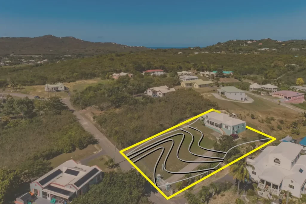
Topographic Survey
Specifically used to detail elevation contours based on both man-made and naturally occurring elements of the lot’s environment,
02.
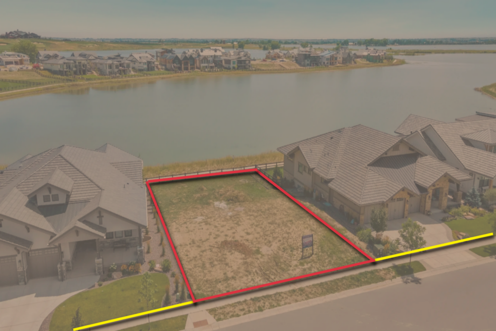
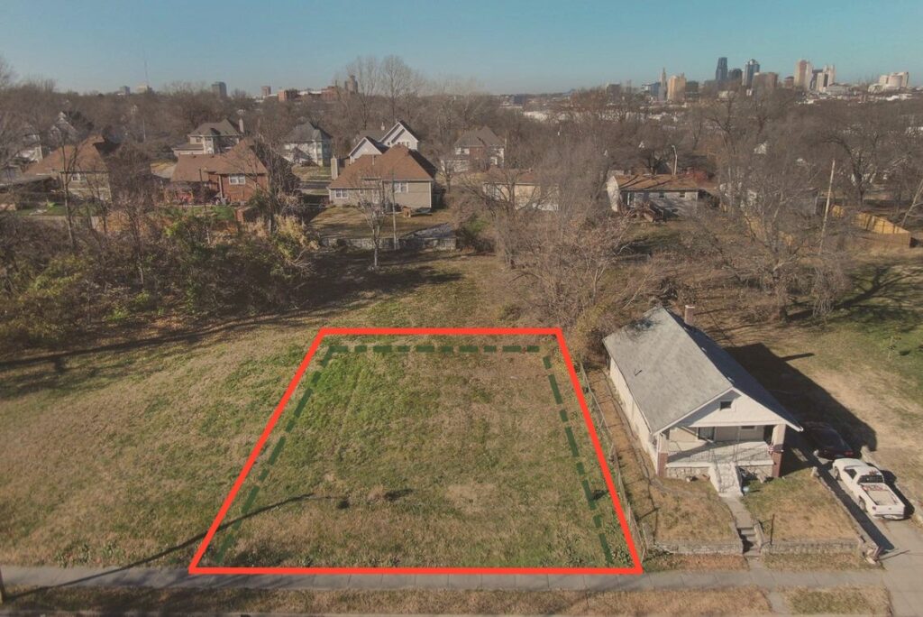
Boundary Survey
Specifically used to delineate the legal dimensions of a property based on calculated corner iron rod placements.
03.
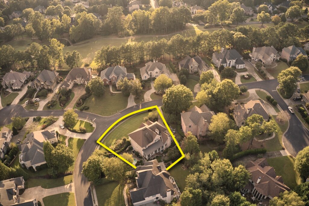
As-Built Survey
Used to outline both proposed and existing structures of a lot of study to capture all modifications during construction processes.
04.
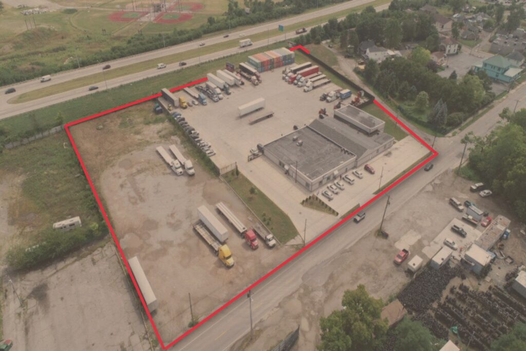
ALTA Survey
Used to properly appraise property titles and verify legal purchase record descriptions. Often commissioned for commercial lots.
05.
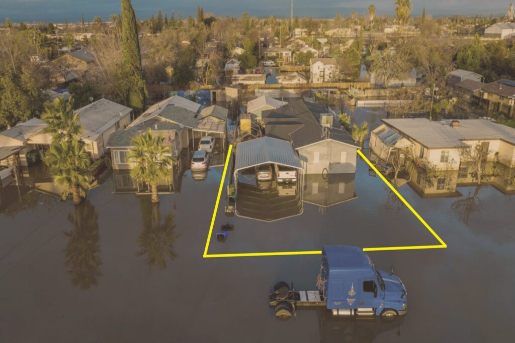
Floodplain Survey
Intended to clarify existing needs for property FEMA flood insurance by outlining proximity to potential flood risk zones.
06.
Mortgage Survey
Used to assess property values for mortgage loan estimates and title insurance purposes. Outlines all property modifications over time.
